3D Printed Topographical Map Project: Preventing Future Flood Damage in Mid-Michigan
In May 2020, amid a global pandemic, devastation and destruction struck mid-Michigan yet again, when both the Edenville and Sanford dams collapsed following a record-breaking rainfall. This “500-year flood” forced more than 10,000 residents in Midland County to evacuate and seek safety before the breached dam water ransacked their homes and belongings. For long-time residents, this disaster seemed all-too-familiar to the great flood of 1986, when heavy rain caused 11 dams to fail and caused more than $500 million in damages.
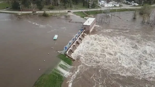
Photo by TC Vortex, via Reuters
News reports quickly circulated questioning the quality of the Sanford and Edenville dams faulting the owners for improper maintenance and poor infrastructure. But could additional factors also be to blame? What caused these dams to breach and how could a similar tragedy be avoided in the future?
Having endured watching their community suffer from the aftermath, Mid Michigan College (Mid) Phi Theta Kappa (PTK) students began their research to investigate the cause and help prevent future floods from devastating their community, and others as well.
Researching the Root of the Cause
Mid students began their research journey by collaborating with the administration and faculty at Mid Michigan College. From there, they were led to interview Gladwin County’s Emergency Management and Homeland Security Director, Robert North.
After a tour and an overview assessment of the flooding and dam breaches, Robert North explained that the floods were caused by heavy rainfall in Gladwin County; however, as the water traveled downhill toward the already overloaded dams, the breaches occurred. In turn, as the dams emptied, rushing rapids created additional flooding. The remaining water had nowhere to be absorbed due to man-made structures interfering with the natural environment prolonging the flooding.
The students then spent several months reviewing their findings and analyzing academic sources including publications, personal interviews, speeches, posters, and documentaries. They concluded that, contrary to initial beliefs, a single factor was not responsible for creating the 500-year flood. Instead, multiple factors compounded to disastrous effects.
Preventing Future Disaster with 3D Topographical Map
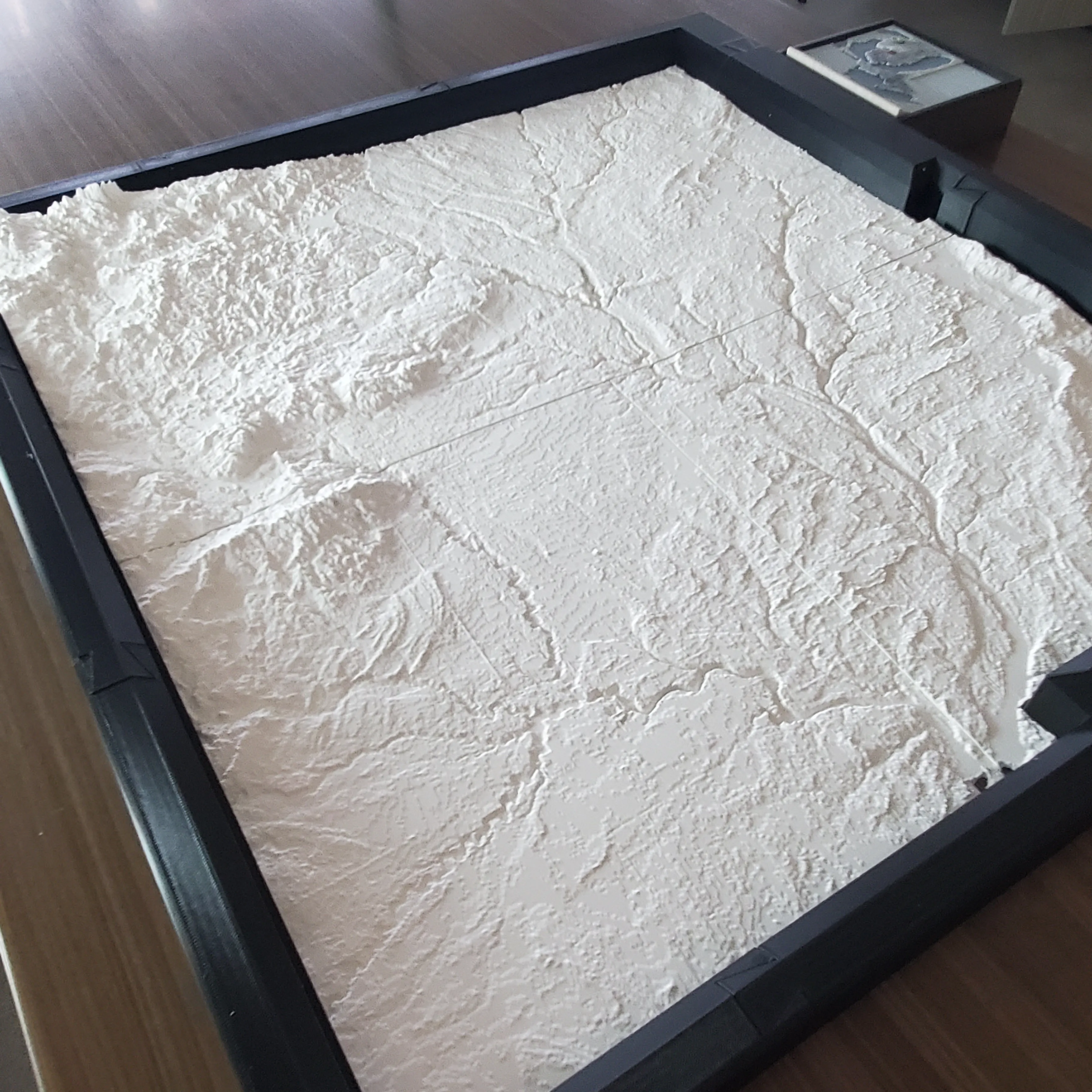
After conducting their research and experiencing first-hand the long-term devastation flooding can have, the students believed that having access to a 3D topographical map of Gladwin County and the surrounding waterways would be extremely beneficial. This map would allow the Gladwin County Emergency Management office to educate the community about public safety and the potential hazards of heavy rainfall, flooding, and dam failure.
To create the 3D topographical map, the students first tried utilizing the 3D printing services available at Mid and other local education centers, but the 3D printers available could not handle the size capacity needed for the project.
With the help of their professor, Eric Sander, the students were introduced to GoEngineer.
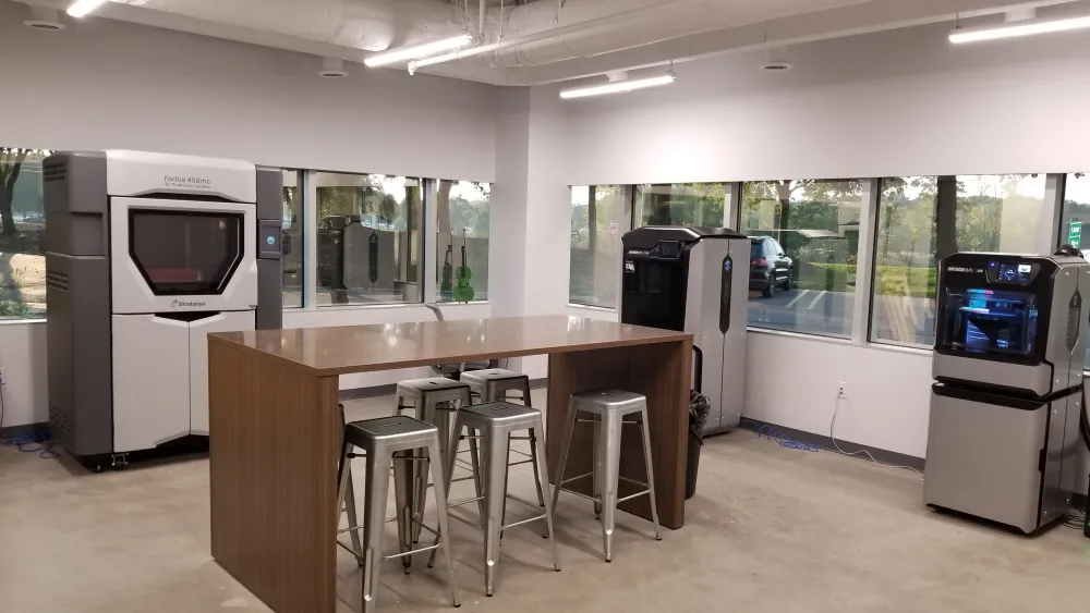
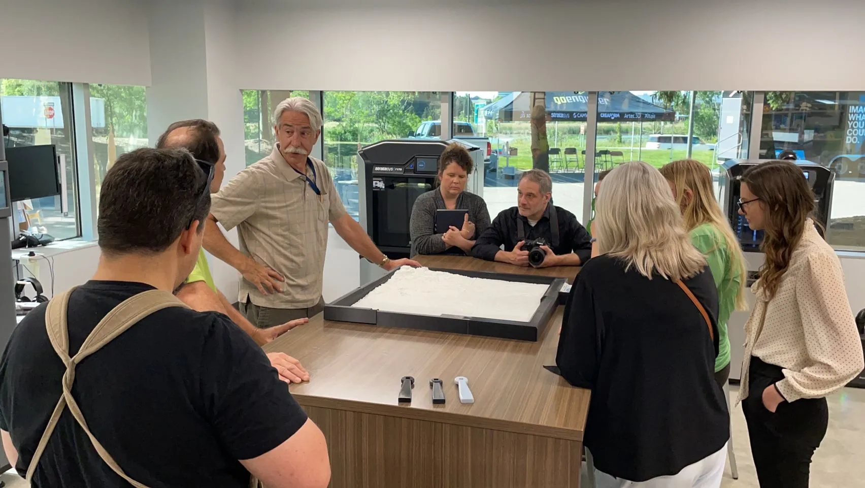
GoEngineer's 3D Printing Lab in Auburn Hills, Michigan
GoEngineer Additive Manufacturing Lab
The GoEngineer team in Auburn Hills, Michigan was delighted to assist with this project. The first step was to take their geographic LiDAR data and convert it into a solid model using SOLIDWORKS 3D CAD software. After a few design modifications, the model was ready to be processed in GrabCAD Print and then 3D printed.
The strategy was to 3D print the model as large as possible but also with fine enough resolution to convey its message. The GoEngineer additive manufacturing lab includes a Stratasys Fortus 450mc 3D Printer which uses FDM (Fused Deposition Modeling) technology. This professional-grade printer would be able to handle the size and complexity of the model without a hitch.
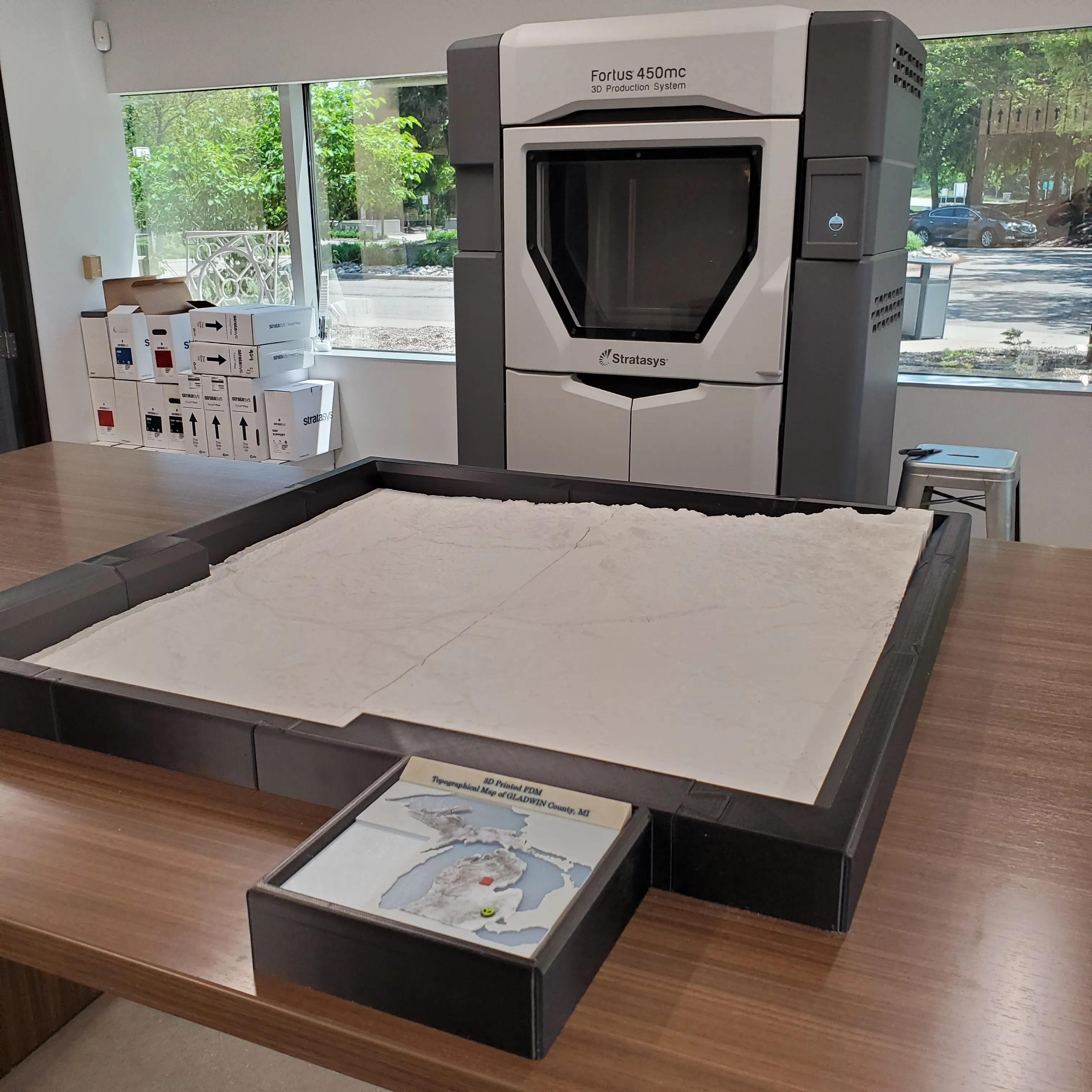
To get the best surface finish on the vertical map face, the tiles were oriented standing on end. This orientation can be difficult for most FDM machines because the model can warp as the print head moves further away from the build platform. Since the Fortus 450mc has an enclosed and heated build chamber, it can provide a more uniform thermal experience.
The material used to 3D print the model needed to be strong and yield a good surface finish. UV stability was also important since the model would be on display in various lighting conditions. Stratasys’ white ASA material checked all of the boxes.
The map was printed in four panels and placed on three support trays. After 170 hours and 280 cubic inches of material, the model was complete.
Due to their diligent research and outstanding achievements, the students were awarded honorable recognition and have accepted several awards at both the Phi Theta Kappa National Virtual Catalyst and Virtual Michigan Region Conventions.
Phi Theta Kappa is the premier honor society recognizing the academic achievement of students at associate degree-granting colleges and helping them to grow as scholars and leaders. The Society is made up of more than 3.5 million members and nearly 1,300 chapters in 11 nations, with approximately 240,000 active members in the nation’s colleges.
“This year, our students chose to focus on the extreme flooding our area experienced in early 2020 for their Honors in Action project,” noted Tammy Alvaro, Director of Student Advancement and Mid’s Phi Theta Kappa Chapter Advisor. “Students set goals as a team, researched a topic, collaborated with other students, faculty, staff, and community and business leaders to create an action plan based on what they discovered from their research. These activities gave the students soft skills and tools they will take into their futures to help our communities prepare for future challenges they may face.”
Related Articles
Stratasys' 'BIG' Release: Meet the F770
Stratasys Unveils 3 New 3D Printers
3 Reasons Students Excel with Makerbot METHOD
Binder Jetting and Stratasys? Meet SAF Technology
New Stratasys ABS-CF10 Carbon Fiber Composite 3D Printing Material
![]()
About GoEngineer
GoEngineer delivers software, technology, and expertise that enable companies to unlock design innovation and deliver better products faster. With more than 40 years of experience and tens of thousands of customers in high tech, medical, machine design, energy and other industries, GoEngineer provides best-in-class design solutions from SOLIDWORKS CAD, Stratasys 3D printing, Creaform & Artec 3D scanning, CAMWorks, PLM, and more
Get our wide array of technical resources delivered right to your inbox.
Unsubscribe at any time.