Artec Jet
Scale-accurate Mobile LiDAR Mapping
what is the artec Jet?
The Artec Jet is a high-speed, mobile LiDAR mapping system designed to digitize large-scale environments, facilities, and infrastructure with survey-grade accuracy. Utilizing advanced SLAM-based (Simultaneous Localization and Mapping) positioning and AI-powered autonomy, the Jet captures complex sites in minutes rather than hours. Whether handheld or mounted to a drone, robot, or vehicle, it excels in GPS-denied environments like underground mines, tunnels, and dense industrial plants, providing a seamless "site-to-component" workflow within the Artec 3D ecosystem.
Features

AI Autonomy & Safety
When deployed on a drone, the Jet's AI engine enables fully autonomous flight and obstacle avoidance. Its omnidirectional LiDAR detects hazards as small as 2mm wires from up to 40m away, ensuring safe mapping in hazardous or confined spaces without a pilot.
Total Deployment Freedom
Switch between handheld, backpack, drone, vehicle, robot, telescopic pole, and protective cage deployments in seconds. The quick-release mechanism allows you to adapt to any environment, from factory floors to vertical shafs, without mid-session recalibration.


Precision Anywhere
Engineered for precision where traditional GPS fails, the Jet maintains a low ±0.03% drift rate. It delivers mapping accuracy of ±10mm in indoor and undergroun environments, making it the ideal solution for digital twins and as-built documentation of large infrastructure.
specifications

| Accuracy & Precision | Mapping accuracy: ±10 mm Drift rate: ±0.03% |
|
| Field of View | 360° x 290° (Full scene capture in a single pass) | |
| Scanning Range | Up to 100 meters | |
| Deployment Weight | 1.57 kg (3.46 lbs) | |
| Environmental Rating | IP65 (Dust tight and water-jet protected) | |
|
Operating Temperature |
-10 °C to 45°C (14°F to 113°F) |
|
| Output Formats |
.LAS, .LAZ, .PLY, .E57 (with intensity and optional RGB) |
|
Frequently Asked Questions
Yes. Unlike photogrammetry, which relies on ambient light, LiDAR is an active sensing technology. It generates its own light source by emitting laser pulses and measuring their return. This allows scanners like the Artec Jet to maintain peak precision in pitch-black environments, such as mines, tunnels, and unlit interior spaces, without any loss in data quality.
Additional Resources
Take Advantage of GoEngineer’s Extensive Knowledge Base and Resources

Find a Solution
Our robust Knowledge Base contains over 12,000 resources to help answer your product design questions. From basic CAD questions to in-depth guides and tutorials, find your solution here. Find a Solution

PROFESSIONAL TRAINING
Improve your skills with professional training and certifications in SOLIDWORKS, CAM, 3D Printing, and 3D Scanning offered four ways: self-paced, online, on-site, or in-classroom. Certified Training Courses

BLOG
#1 Technical Resource Worldwide - Right at your fingertips. Search or browse through hundreds of SOLIDWORKS tips & tricks, additive manufacturing product developments, announcements, how-to guides, and tutorials. Blog

YouTube Channel
Our YouTube channel hosts hundreds of educational tutorials, product demonstrations, recorded webinars, and best practices for all of our products and services. GoEngineer's YouTube Channel
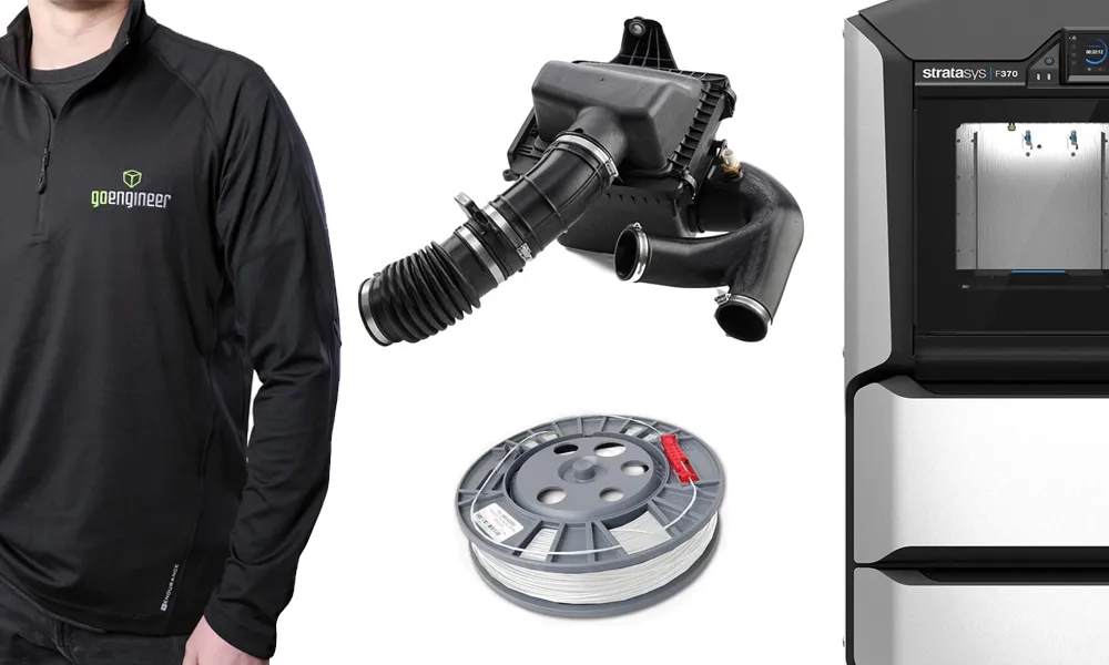
ONLINE STORE
Order 3D printing materials and consumables, enroll in SOLIDWORKS training classes, and buy official GoEngineer gear directly from our online store. Online Store
WEBINARS
Our engineering webinars are hosted by some of the top experts in the industry. They are always recorded, always free, and always offer a live Q&A. WEBINARS
3D Printing Services
Need to 3D print a part? Our Additive Manufacturing experts will 3D print your part and deliver it to you using the latest technology on one of our professional FDM, PolyJet and SL 3D printers. 3D Printing Services